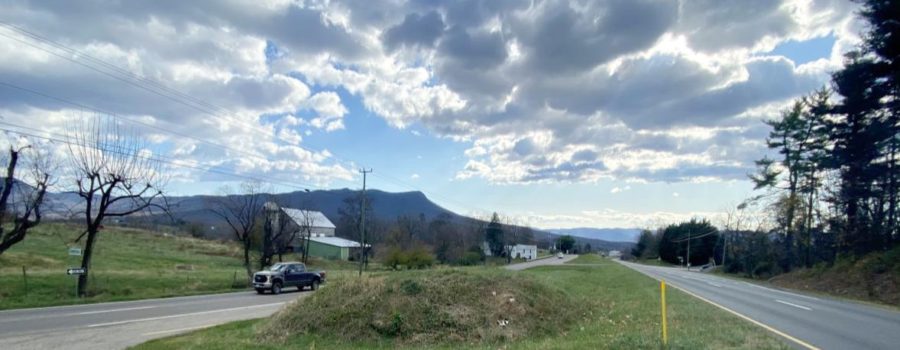
VDOT is hosting a meeting this Thursday, February 3, 2022, from 5-7pm at Spotswood High School for community members to ask questions and provide input on the near-final improvement plan for Route 33 East from Harrisonburg to Elkton.
You may remember this time last year, we sent a note about the opportunity to comment on your experience traveling this busy and often congested corridor. After a year of work compiling traffic and safety data and incorporating public input, VDOT’s recommendation for improvements along the route is almost complete.
The draft recommendation for the corridor was released last fall, and includes expected solutions like turn-lane additions and improvements, business entrance consolidation, improved signals and signage, and closing or restricting opportunities to cross the Route 33 median. A shared-use path all the way from Boyers Road to Old Spotswood Trail is recommended as the safe option for pedestrian travel along the corridor.
VDOT also recommended an innovative intersection design at the Keezletown/Cross Keys Road and Route 33 intersection, where 14% of respondents in last year’s spring survey indicated was their highest priority for improvement.
Attend the meeting
February 3, 2022
5-7pm
Spotswood High School (directions)
Other ways to comment
Email
brad.reed@vdot.virginia.gov,
USPS
Brad Reed
811 Commerce Road
Staunton, VA 22401
Phone
540-332-2266
The intersection VDOT is suggesting is called a Restricted Crossing U-Turn (RCUT), or colloquially a Michigan-left, because of its popularity in transportation design in that state. Although it’s difficult to digest on paper, the intersection design has proven efficient at moving high volumes of traffic safely. VDOT estimates that the Michigan left at this intersection will save afternoon commuters almost two minutes in the projected 2040 volume of traffic.
We applaud VDOT for this thorough process with opportunity for input, and believe this set of recommendations will make travel along the corridor safer and more efficient, using the least amount of pavement possible and preserving resources along the corridor.
Photo by VDOT.

