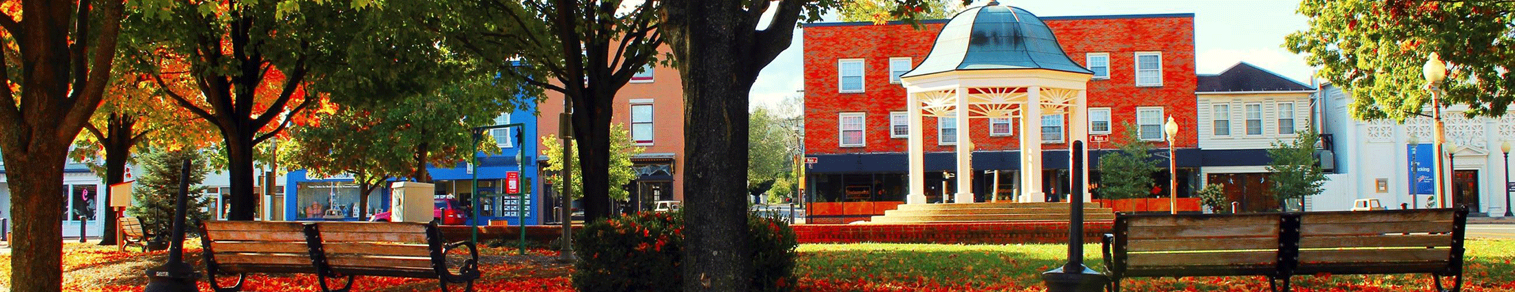
Warren County
The Alliance looks forward to working with local groups and interested citizens to protect the natural and historic assets of Warren County.
Recent News

Projects
County Contact

Chris Anderson
(540) 740-4500
County Resources
Legacy Organization Information
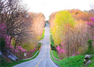
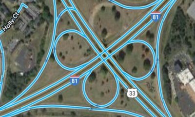
The Scenic 340 Project formed in 1999 to oppose a VDOT proposal to widen Route 340 from Front Royal to Luray to four and five lanes endangering scenic viewsheds, Civil War battlefields, productive farmland, community identity and a growing heritage tourism industry. For more than a decade, Scenic 340 members were deeply engaged in the transportation planning process, promoting alternatives guided by Context Sensitive Solutions. Thankfully, VDOT abandoned the harmful plan, opting instead to replace four bridges in need of repair.
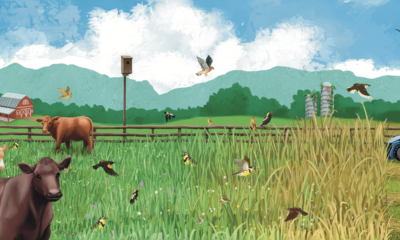
After the threat of the widening plan passed, Scenic 340 continued to advocate for improvements to the state’s road-building policies, partnered with community members to conserve more than 2,300 acres of forest and farmland, providing a critical wildlife travel corridor linking Shenandoah National Park and George Washington National Forest, and enhanced the scenic beauty of the historic Route 340 corridor with Project Redbud, replanting the native trees along the corridor.
Over the years, Scenic 340 Project partnered with Alliance on many conservation issues, and they officially joined forces with the Alliance in 2019.
Page and Warren Advisory Council
Christine Andreae
Fred Andreae
Paula Atwood
Chris Anderson
Paul Bell
John Gibson
Rod Graves
Jim Guy
Judy Guy
Tom Lockhart
Paul Otto
Mary Powers Ryan
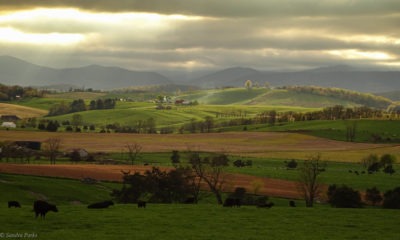
Where We Work
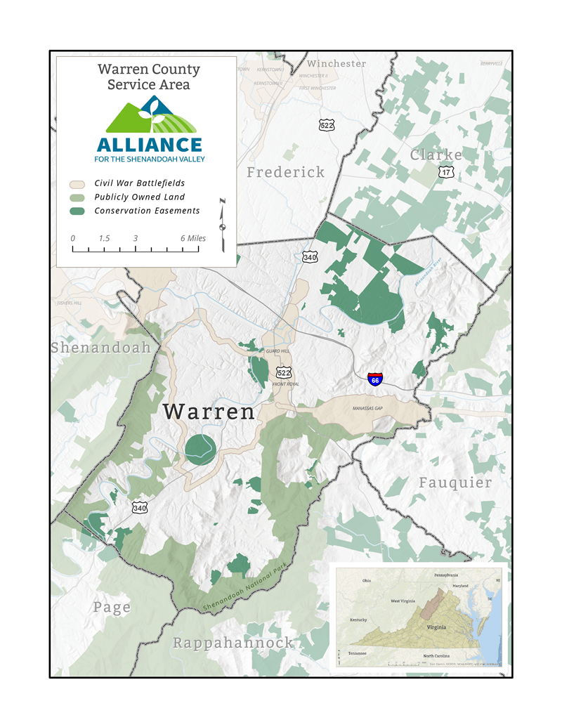
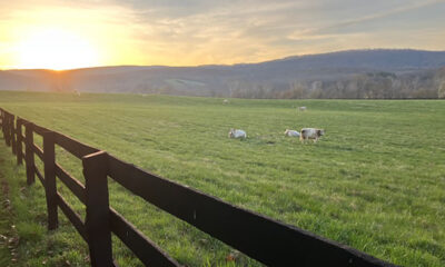
County Stats
- Land Area, acres: 136,621
- Population: 40,727
- Land in Farms: 38,697 acres, 28%
- Number of Farms: 321
- Market Value of Products Sold (Crop/Livestock): $5,892,000
- Ranking out of 98 VA Counties: 84
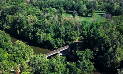
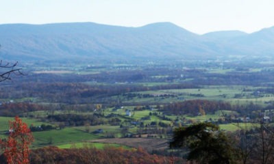
- Watersheds
- North Fork Shenandoah
- South Fork Shenandoah
- Land in Conservation
- 164 easements
- 33,085 acres
- 24.22%
- National Historic Battlefields
- Public Lands
- GWNF: 6,290 acres/4.6%
- SNP: 13,659 acres/10%