• Home
  • About Us
    • Who We Are
    • Staff
    • Board of Directors
    • Our History
    • Annual Reports
    • Join Our Team!
  • Our Work
    • Land Use and Transportation
    • Conservation and Agriculture
    • Clean Water
    • Strong Communities
    • Regional Issues
    • Virginia General Assembly
  • Home
  • Counties
    • Augusta County
    • Frederick County
    • Page County
    • Rockingham County
    • Shenandoah County
    • Warren County
  • News + Events
    • News
    • Events
  • Donate

(540) 908-3914

Subscribe
Alliance for the Shenandoah ValleyAlliance for the Shenandoah Valley
  • Home
  • About Us
    • Who We Are
    • Staff
    • Board of Directors
    • Our History
    • Annual Reports
    • Join Our Team!
  • Our Work
    • Land Use and Transportation
    • Conservation and Agriculture
    • Clean Water
    • Strong Communities
    • Regional Issues
    • Virginia General Assembly
  • Home
  • Counties
    • Augusta County
    • Frederick County
    • Page County
    • Rockingham County
    • Shenandoah County
    • Warren County
  • News + Events
    • News
    • Events
  • Donate

Land Use and Transportation

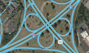
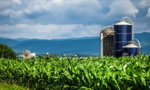
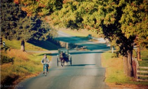
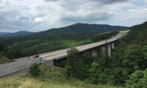
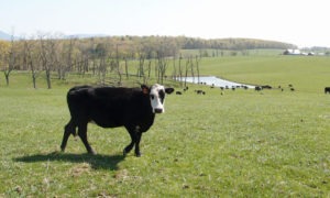
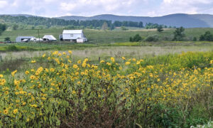
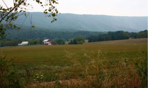
The scenic beauty of the Shenandoah Valley has attracted people for centuries, with its mountains, rolling farmland and historic towns. Local land use and transportation decisions play a significant role in maintaining — or diminishing — the beauty and character of the Valley.

The Alliance mobilizes citizens to get involved in planning commission, board of supervisor and city council decisions. Local planning can help protect our rural character— working farm and forest lands and historic battlefields- and encourage new growth to the Valley’s historic towns and cities.

Current Land Use and Transportation Projects

I-81 Corridor
Rockingham County Local Land Use
Rockingham County Local Transportation
Harrisonburg Comprehensive Plan
Shenandoah County Agricultural Enhancement
Utility Scale Solar
Shenandoah County Land Use and Economic Development
Silver Lake Signage & Walking Path
Sunrise view over a rural landscape with the words 'time for your input.'
Rockingham County Comprehensive Plan Update
A massive divided four lane highway with a bridge over a valley with only mountains surrounding.
Corridor H
A gorgeous farm view with yellow flowers in the foreground, white barn and homestead in the field behind all backed by mountain ranges in the distance.
Augusta County Comprehensive Plan Update
Bright blue water flows through tall grass in the foreground while cows graze in the background under a blue sky dotted with clouds.
Augusta Next

Recent News

Planning for Responsible Data Center Development in the Valley
Dec 23 2025

Staunton Comp Plan Survey
Dec 11 2025

Staunton-area community members, property owners and stakeholders are welcome to attend to react to draft goals and help determine the updated comp plan priorities.

What’s Inside A Data Center?
Dec 01 2025

What's Inside A Data Center?

All Land Use and Transportation News
Support Our Work! Donate Online Here

Get In Touch

  • Kate Wofford, Executive Director
  • Alliance for the Shenandoah Valley
  • 9485 S Congress St • PO Box 674 • New Market, VA 22844
  • (540) 908-3914
  • info@shenandoahalliance.org

Stay in Touch

SIGN UP FOR E-NEWS

Search our site

Our Counties

  • Augusta
  • Frederick
  • Page
  • Rockingham
  • Shenandoah
  • Warren

Our Work

  • Land Use and Transportation
  • Conservation and Agriculture
  • Clean Water
  • Strong Communities
  • Regional Issues
Charity Navigator Four-Star Rating.

© 2026 · Alliance for the Shenandoah Valley

  • Home
  • About
  • Donate
  • News
  • Contact Us
  • Privacy Policy