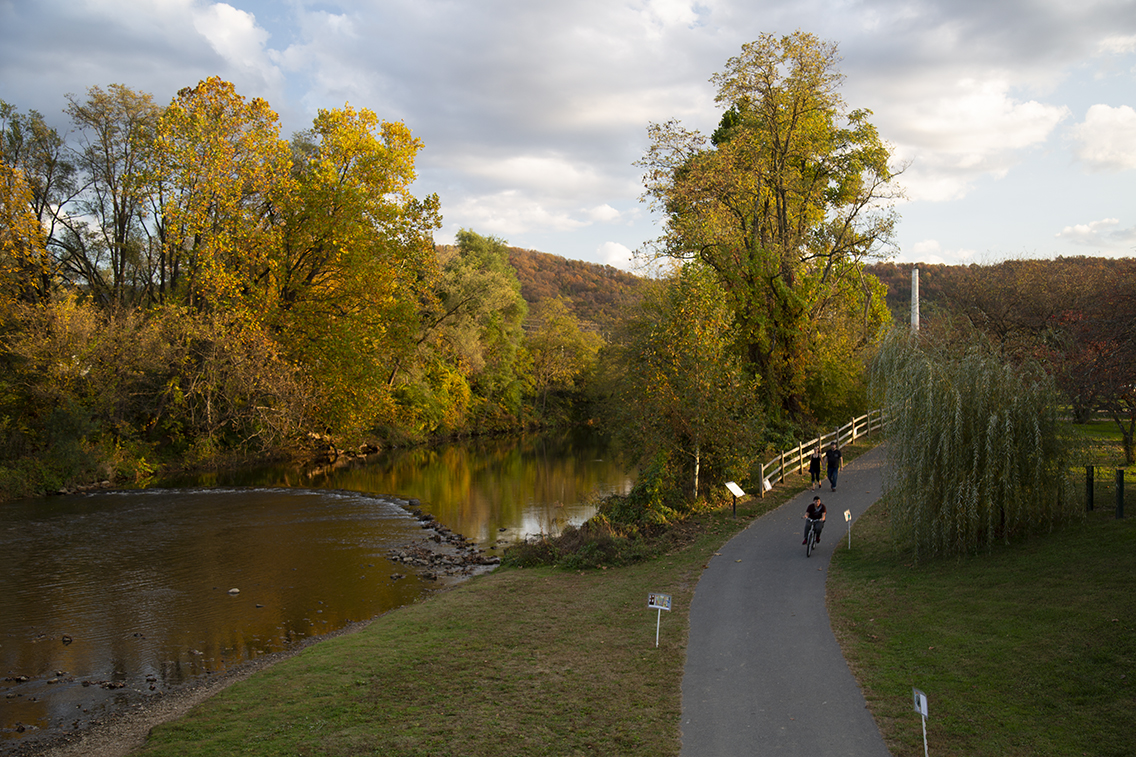
The South River Watershed Coalition is a newly formed community-driven nonprofit that evolved from the DuPont Science Team (and its citizen advisory board), which has spent decades addressing the mercury contamination of the river from the DuPont plant. With most of that remediation work complete, the group is branching out to connect communities across the watershed by supporting initiatives like the South River Greenway through Waynesboro.

The greenway, highlighted in the Staunton/Augusta/Waynesboro Bike and Walk Summit last month, is a two-mile shared-use path running along the South River providing recreation benefits and increased access to the river. The work of the coalition will help bridge the gap between science and the community to promote better health for the South River and the people it connects.
Just as with the Alliance work, the key to the success of this new watershed group will be partnerships. Nancy Sorrells, the Augusta County Coordinator for the Alliance, is one of the founding board members for the new coalition and will continue seeking ways that we can partner with our overlapping missions.

Q:
What’s 230 square miles in size with a geographic footprint in a shape that looks like a map of Italy?
A:
The South River watershed!
Located in Augusta County and Waynesboro, the watershed includes every piece of land through which creeks, springs, and lakes flow into what eventually becomes the South River. The South River starts as a trickle in southeastern Augusta County, flows north through the city of Waynesboro, and meanders along the western foothills of the Blue Ridge Mountains until it crosses into Rockingham County where it then joins with other tributaries to become the South Fork of the Shenandoah River.